Officials Outline Repopulation Plans, Damage Assessments, Ongoing Support
The City of Malibu provided updates on Thursday, December 12 regarding the Franklin Fire and ongoing recovery efforts. Unified Command, Los Angeles County agencies, and city officials detailed progress in repopulating affected areas, assessing damages, and supporting the community’s rebuilding process.
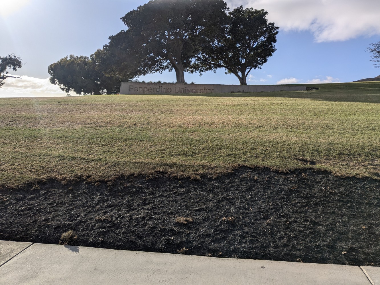
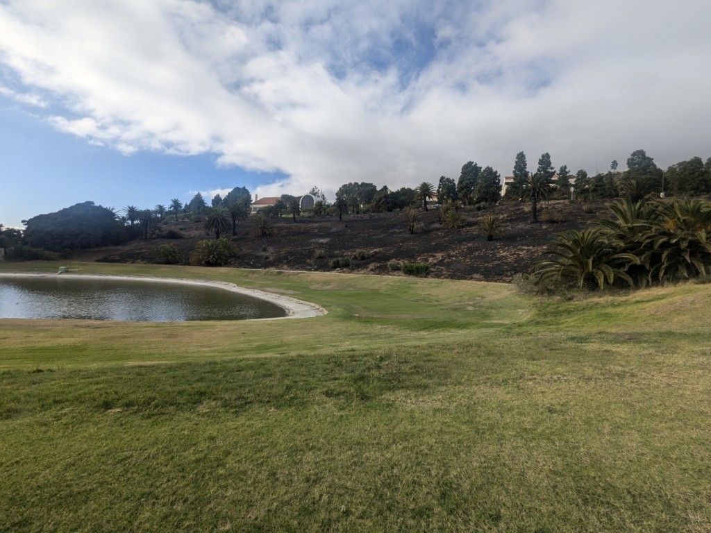
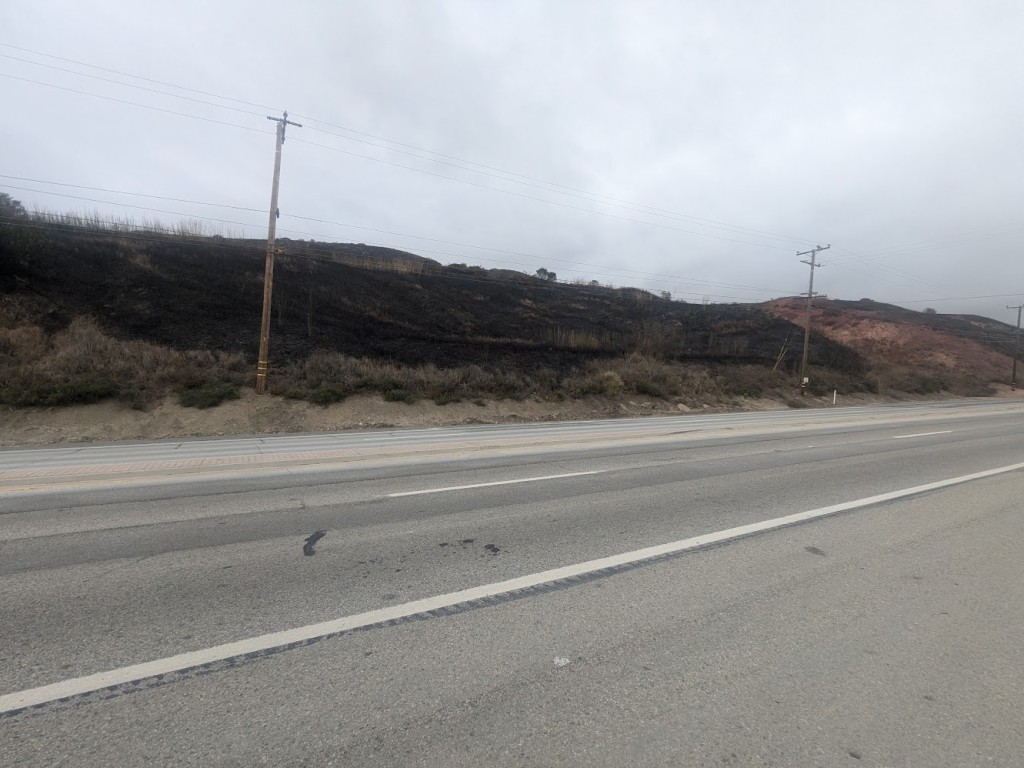
Franklin Fire Status The Franklin Fire has burned 4,037 acres and is 30% contained, according to officials. Damage inspections revealed 12 structures destroyed, including six single-family homes and six outbuildings, while 11 structures were damaged, including 10 single-family homes and one outbuilding. Approximately 66% of displaced residents, or 3,747 individuals, have been allowed to return home, while 1,600 residents remain under evacuation orders.
“Malibu is a strong and resilient community,” said Mayor Doug Stewart. “I want to thank our residents for their patience and our first responders for their heroic efforts. The City will continue to stand with you, providing the support and resources needed to rebuild and recover.”
Malibu School District Schools will remain closed on Friday, and the potential re-opening of the three undamaged schools will be accessed on Sunday. SMMUSD will contact parents via email regarding Monday’s classes.
Repopulation and Road Closures Officials announced updates on evacuation zones and road closures:
- Normal Status (Evacuation Warning Lifted): Evacuation warnings have been lifted east of Las Flores Canyon, including Topanga and Sunset Mesa Zones.
- Repopulating with Evacuation Warning (Yellow): Areas west of Las Flores Canyon to Sweetwater Mesa, and west of Serra Road to Puerco Canyon are being repopulated under Evacuation Warning status.
- Remaining Under Mandatory Evacuation Order (No Access): Areas west of Sweetwater Mesa and Serra Road remain under Evacuation Order.
Residents returning to repopulated zones can do so with confidence that inspections have been completed but are urged to exercise caution and follow safety instructions. Guidance on staying safe in burn areas is available at Los Angeles County Public Health’s wildfire resource page.
Road Closures:
- Soft Road Closures (Residents Only):
- Pacific Coast Highway (PCH) between Corral Canyon and Las Flores Canyon.
- Hard Road Closures (No Access Beyond 0.25 Miles):
- Northbound traffic from PCH at:
- Sweetwater Canyon Road
- Serra Road
- Carbon Canyon Road
- Corral Canyon Road
- Rambla Pacifica Road
- Northbound traffic from PCH at:
Roads north of PCH are open to residents up to a quarter-mile but remain closed beyond that point. Residents must present valid identification at checkpoints. For updates on road closures, visit Los Angeles County Road Closures. Pacific Coast Highway going east is open.
An official Local Assistance Center will open at Malibu Bluffs Park on Tuesday, December 17, from 10:00 a.m. to 4:00 p.m. Representatives from Los Angeles County Public Works, Waterworks District 29, USPS, Southern California Edison, the Red Cross, and the Boys and Girls Club of Malibu will assist residents in reconnecting services and accessing recovery resources.
Recovery Efforts
- Water Supply: Los Angeles County Waterworks District 29 has issued a boil water notice for 22 homes in Sweetwater Canyon Drive, Ridgemont Drive, and Beckley Terrace due to temporary power loss. Residents can contact 877-637-3661 with questions.
- Mud and Debris Flow Management: Free engineering advice is available for property owners in burn areas by calling 800-675-HELP (4357).
Although no state or federal recovery programs have been approved, the City and County are actively assessing damages and seeking potential funding opportunities. For more recovery resources, visit Los Angeles County Emergency Services.
Stay Informed For all Los Angeles County emergency updates, visit AlertLA. For those who do not have cell phone or internet access, please tune in to local AM/FM radio and 99.1 KBUU FM using handheld or car radios, which will work when the power is out.

