More Rain and Possible Thunderstorms Are Expected Friday as Flood Risks Remain High Across Already Saturated Areas
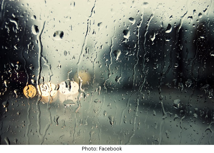
Rainfall across Los Angeles eased on Christmas Day, but forecasters warned Thursday that the storm system responsible for record-breaking holiday rain has not yet cleared the region.
The National Weather Service said additional rounds of showers are expected through Friday as multiple storm impulses move through Southern California, keeping flooding risks elevated, particularly in already saturated areas of the Westside and Los Angeles County.
Forecasters said periods of rain and a slight chance of thunderstorms could develop Friday, with highs near 60 degrees and southwest winds around 10 mph. Rainfall totals for Friday are expected to range from a quarter to a half inch in coastal and valley areas, with lighter amounts possible Friday night before showers taper off late in the evening.
Despite a temporary lull, meteorologists said two additional storm impulses are moving through the region. The first system was expected to weaken as it passed through Ventura County on Thursday, bringing lighter rainfall to Los Angeles County. A second, stronger impulse is forecast to arrive late Thursday night into Friday morning, drawing moist, unstable air into the county and producing heavier rainfall.
Los Angeles County could receive an additional 1 to 1.5 inches of rain in coastal and valley areas, with 1.5 to 3 inches — and locally up to 4 inches — possible in the mountains, according to the National Weather Service. Snow levels are expected to hover around 6,000 feet, with a few inches of accumulation at higher elevations before precipitation ends.
Officials warned that flooding potential remains high due to extreme ground saturation. Any new rainfall is likely to quickly turn into runoff, increasing the risk of street flooding, debris flows and mudslides.
Gov. Gavin Newsom on Thursday declared a state of emergency for several counties, including Los Angeles, Orange, Riverside, San Bernardino, San Diego and Shasta, to accelerate emergency response and recovery efforts.
“With atmospheric rivers, intense rainfall and strong winds ahead, I’m declaring a state of emergency to activate emergency authorities and preposition resources to keep our communities safe,” Newsom said in a social media post. The declaration allows for rapid deployment of state resources, including the California National Guard if needed, and authorizes Caltrans to seek federal assistance for damaged roads and highways.
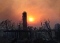
Evacuation warnings remain in effect for several Los Angeles County burn-scar areas, including the Palisades, Mandeville Canyon, Eaton and Sunset fire zones.
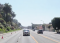
Authorities urged residents to avoid flooded roadways, emphasizing that even six inches of moving water can knock a person off their feet, while one foot of water can sweep away a vehicle.
The storm system has already produced historic rainfall across the region. Downtown Los Angeles recorded 2.59 inches of rain through noon Christmas Day, making it the wettest Christmas Eve–Christmas Day period in 54 years and the fourth-wettest two-day holiday stretch since recordkeeping began in 1877.
UCLA reported more than 3 inches of rain, marking its wettest Christmas Eve–Christmas Day period on record. Other Westside totals included about 3.1 inches in Bel Air, 2.66 inches in Hollywood, 2.64 inches in Beverly Hills and just over 2 inches in Culver City.