
Select Areas Now Open to Residents Only as Evacuation Orders Are Eased
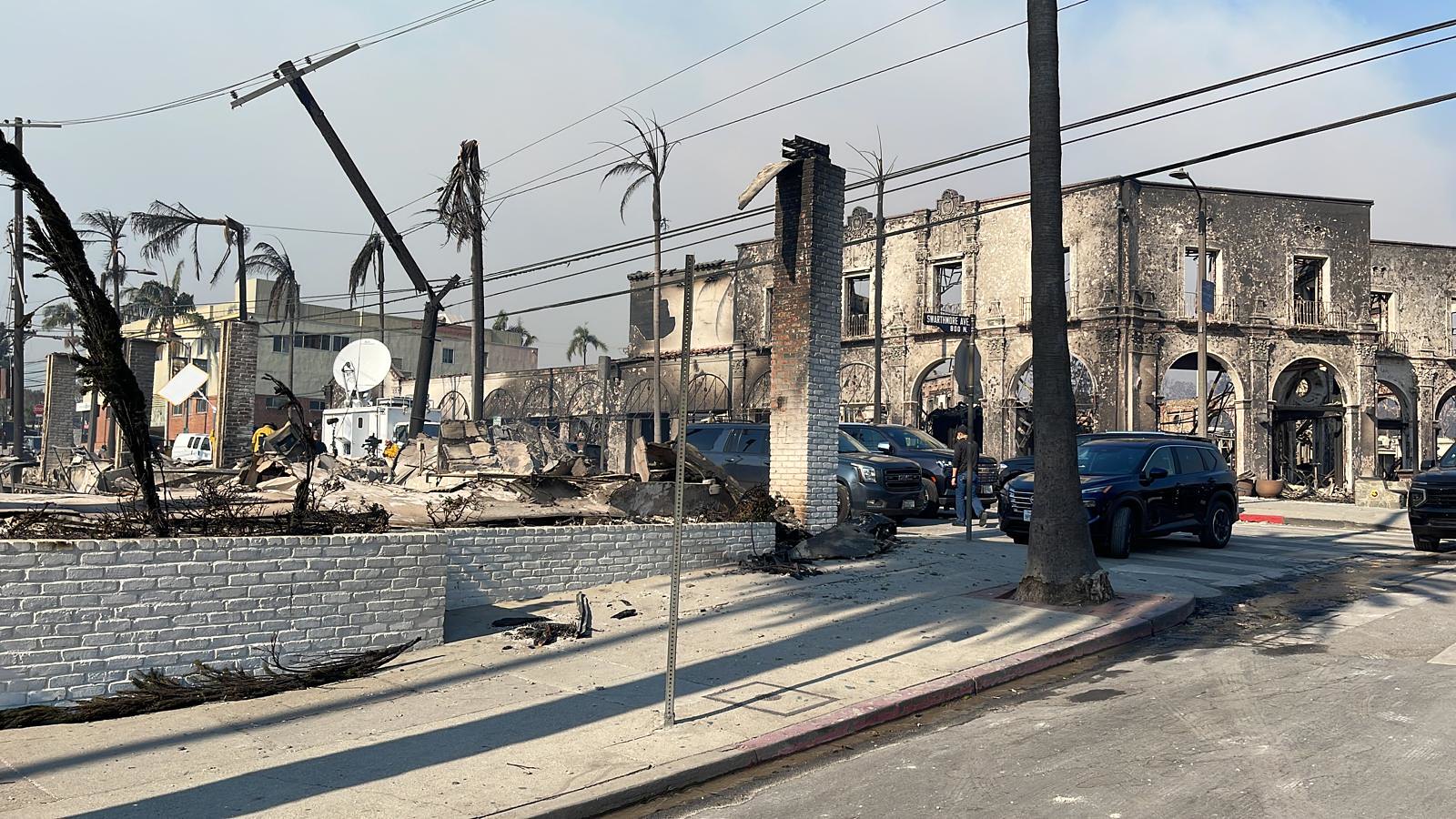
The Palisades Fire has reached 23,713 acres with 63% containment as of Tuesday morning. The fire has destroyed 6,380 structures and damaged 857 more. A mandatory curfew remains in place from 6:00 a.m. to 6:00 p.m. for all areas under evacuation orders and warnings to ensure the safety of residents.
Tragically, the death toll from the fire has reached eleven, according to the Los Angeles County Coroner. None of the deceased’s identities have been officially released. One person died at an area hospital, five people died in Malibu, four people died in the Palisades, and one person died in Topanga.
Authorities continue reducing evacuation orders to allow resident-only access in several zones. Affected residents can now return to the following areas:
- Los Angeles County Zones (RMB-U030-B):
- North: Carbon Beach Terrace
- South: Piuma Road
- East and West: Carbon Canyon Road
- City of Los Angeles Zones (LOS-0767-F):
- North: Pacific Coast Highway
- South: Santa Ynez Road
- East: South Surfview Drive
- West: Palisades Drive
- City of Malibu Zones (MAL-C112-B, MAL-C111-A):
- Zone 1:
- North: Pacific Coast Highway
- South: Carbon Beach Terrace
- East and West: Carbon Beach Terrace
- Zone 2:
- North: Pacific Coast Highway
- South: Rambla Pacifico Street
- East: Carbon Beach Terrace
- West: Las Flores Mesa Drive
- Zone 1:
The Los Angeles County Department of Public Health is distributing personal protective equipment to residents returning to fire-affected areas. Officials advise following Public Health’s detailed recommendations for staying safe in burned-out areas.
Residents must provide proof of residency at roadblocks for access to repopulated zones. Acceptable forms of identification include:
- A photo ID displaying the resident’s name and address.
Residents are encouraged to have these documents ready to ensure smooth entry.
Authorities emphasize the importance of knowing your designated zone to stay informed and safe during emergencies. Click here to find your zone on the official emergency map.


