Over 5,300 structures have been destroyed with 12,000 threatened by the Palisades Fire, which has already charred 23,713 acres and numerous landmarks and beloved establishments
By Zach Armstrong
Los Angeles County has released a resource map showing the damage status of Palisadian homes. The map is not a full assessment and will be updated. If a color icon doesn’t appear on an address, that building has not yet been inspected
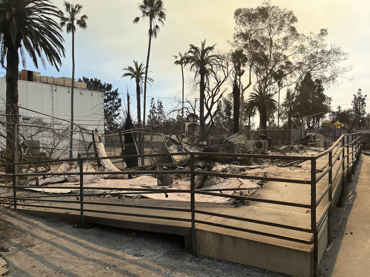
As of Tuesday, January 14, over 5,300 structures have been destroyed with 12,000 threatened by the Palisades Fire, which has already charred 23,713 acres and numerous landmarks and beloved establishments such as Will Rogers Historic Ranch, Palisades Charter High School and Topanga Ranch Motel. The fire, at the time of this writing, is at 14% containment, up from 11% early Sunday.
The largest swath of the Palisades that has been decimated runs from Palisades Charter High School down to the Pacific Coast Highway, in between Radcliffe Avenue and Swarthmore Avenue, with the map showing most residences in that radius being more than 50% destroyed.
The map showed a cluster of homes north of St. Matthew’s Parish, up toward the end of Bienveneda Avenue, mostly undamaged with destroyed homes dotted here and there. Some of those destroyed homes were along Lachman Lane, Tellem Drive and Bienveneda Avenue towards St. Matthew’s.
One side of an entire block of homes on Embury Street, from Bestor Boulevard and Albright Street, are mostly destroyed. A bevy of homes north of Marquez Ave Elementary School along Enchanted Way are mostly gutted as well.
To see the full map provided by LA County, go to https://recovery.lacounty.gov/palisades-fire/.


