Traffic in Santa Monica is a well-known gripe, with congestion found on local roads, bikeways, and sidewalks. With City Hall developing a Land Use and Circulation Element (LUCE) and pushing for Transportation Demand Management (TDM) provisions in development agreements (DA) to help better manage traffic throughout the city, staff presented an updated plan for Colorado Esplanade to balance the flows of pedestrians, cyclists, and vehicles.
The updated plan was part of a presentation to the Santa Monica Planning Commission on Wednesday night. Commissioners were updated on a schematic design for Colorado Avenue Esplanade, a plan city staff said is just about complete.
Located at the western end of Colorado Avenue adjacent to the future Downtown Light Rail Station, the project “integrates the Expo Light Rail into the downtown, improving the existing intersection functions, guiding passengers to their business, shopping, and entertainment destinations.”
The staff report also states navigation around the Colorado Avenue Esplanade will be efficiently smooth due to “a combination of physical urban design directional cues and new signage and green street improvements that clarify pathways, improve wayfinding, enhance landscaping, and provide public art.”
“At the main entrance to the city, it will provide a gateway and a way to orient yourself to all the different places you might want to go in the downtown and civic center, or toward the beach and the Pier,” Sarah Lejeune, a principal planner at City Hall, told commissioners. “It’s a really important piece of the city that we currently don’t have.”
Indeed, the goal of Wednesday night’s presentation at City Hall was to outline how the schematic design and updated roadway reconfigurations for Colorado Esplanade would optimize flow for pedestrians, bicycles, and vehicles.
Staff presented the Planning Commission with four specific recommendations that would “optimize flow.” First, the pedestrian sidewalk along the south side of the street would be widened. In addition, plans called for “dedicated bicycle facilities with a buffered ‘cycle track’” that would ultimately connect to a regional bike path.
One signal light on Main Street would be eliminated “to improve vehicular flow into the downtown,” while Colorado Avenue would have its westbound lanes expand to two lanes between Fourth Street and the Pier.
Overall, commissioners seemed pleased with the schematic designs.
Commissioner Ted Winterer raised a question of how the schematic plans would affect circulation patterns beyond the downtown area, an interest that was echoed by his colleagues.
Staff responded that there is a lot of synchronized planning involving circulation in the context of the Expo Line, the LUCE, and other city circulation plans.
Strategic and Transportation Manager Francie Stefan specifically stated some traffic patterns may be shifted as a result of the updated schematic plans, but overall circulation should flow well.
Commissioners also discussed nuances of bicycle and pedestrian traffic flow.
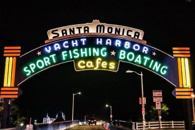
The Colorado Esplanade is located on Colorado Avenue, bounded by Fourth Street on the east and the Santa Monica Pier on the west.
Peter Walker and Partners Landscape Architecture created the Colorado Esplanade designs, which “orchestrates the complex circulation functions with a legible and elegant design that achieves a sense of arrival and departure and celebrate this location in Santa Monica.”
Stefan pointed out while the project is moving fairly quickly and it is uncertain whether Planning Commissioners will have another opportunity to review the Colorado Esplanade again, one thing is for certain: no redevelopment funds will be available for the project.
On Feb. 1, more than 400 RDAs across the state were officially terminated.